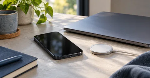
Phone compass not working? Checks to try
Troubleshoot denied motion access, unsupported sensors, relative-only rotation, stale readings and an unavailable True North correction.
 Online Compass
Practical guides to phone compass readings, GPS coordinates and bearing calculations. Use checked examples with our browser-based navigation tools.
Troubleshoot denied motion access, unsupported sensors, relative-only rotation, stale readings and an unavailable True North correction.
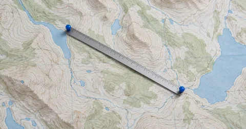
Calculate an initial geographic bearing, check coordinate order and north reference, and understand great-circle distance and changing direction.

Read signed latitude and longitude, convert decimal degrees to DMS, and understand the accuracy and altitude your browser reports.

Separate a phone heading from a geographic route bearing before comparing their numbers.
Check interference, permission and freshness before trusting a drifting phone heading.
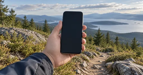
Start a browser compass, read its north reference and accuracy, and handle permission or sensor failures.
Open the compass and choose Start device compass. Your browser may ask for motion permission. Keep the phone flat, away from magnets and metal objects. If permission is denied or a heading sensor is unavailable, the manual angle lets you inspect the dial; it does not find north.
Check the reference under the reading. Magnetic north follows the local magnetic field. True north points toward the geographic North Pole. The difference is magnetic declination, which changes with location and date. A heading whose reference is unknown cannot be safely treated as either one.
The True North option uses NOAA WMM2025 to estimate declination after you provide a position. Correction is available only for an identified magnetic sensor reading. An unsupported reference, expired model or weak magnetic field leaves the heading unavailable. The model correction does not improve the sensor's reported accuracy.
If readings drift, move away from interference, follow your device's calibration instructions and compare the heading at a known direction. A figure-eight movement may help on some devices. An animation cannot verify calibration, and a stable reading alone does not prove accuracy.
Latitude measures north or south of the equator; longitude measures east or west of the prime meridian. Negative decimal values mean south or west. Latitude ranges from −90° to 90°, and longitude from −180° to 180°.
One degree contains 60 minutes; one minute contains 60 seconds. Decimal degrees equal degrees + minutes ÷ 60 + seconds ÷ 3600, with a negative sign for south or west. Six displayed decimal places describe rounding, not measured accuracy.
Your browser may estimate a position from satellite signals, Wi-Fi or other available sources. The reported horizontal accuracy is a radius, not a promise of exact coordinates. Altitude uses the WGS84 ellipsoid as its height reference. It is not terrain elevation or height above mean sea level; the coordinates tool does not convert those references.
Location is requested only when you choose it. Saving a position stores a snapshot in this browser, and that snapshot can become stale as soon as you move. Altitude, speed and travel direction may be absent. Travel direction describes movement rather than the direction the phone is facing.
A bearing is measured clockwise from geographic north: 0° points north, 90° east, 180° south and 270° west. Enter a start and destination coordinate pair to calculate an initial great-circle bearing and estimated distance.
The initial bearing can change along a long great-circle route. If you compare it with a compass reading, confirm the compass's north reference first. A magnetic heading needs a location-specific declination correction before comparison with a true-north route bearing.
The calculator uses a spherical Earth approximation. It does not account for terrain, roads or obstacles and does not provide a surveyed route. Its direction illustration represents a calculation, not live sensor data.