 Online Compass
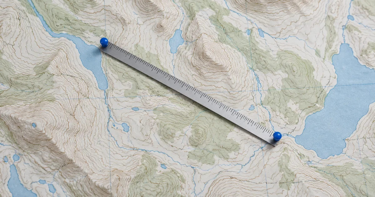
The bearing calculator answers a specific question: which initial direction leads from one coordinate pair toward another on a spherical Earth model? Enter the start and destination, then read the direction and distance together.
Identify the start and destination
Enter latitude and longitude in their labeled fields. Signed decimal degrees use positive values for north and east and negative values for south and west. If your source uses degrees, minutes and seconds, convert the values with Coordinates first.
Keep both values from each place together. Swapping latitude and longitude can produce a valid-looking pair for a different place, particularly when both magnitudes are below 90°. Range validation cannot detect every transcription mistake.
The origin location action can fill the starting pair from a browser report when you allow it. Check its accuracy and capture time before treating it as the departure position. You can type both pairs manually; the calculation itself needs no sensor permission.
Interpret the bearing clockwise from true north
A bearing of 0° points north, 90° east, 180° south and 270° west. The calculator's reference is geographic north. Its number describes the route at the chosen start, independently of how your phone is facing.
Consider a purely mathematical example. From latitude 0°, longitude 0° to latitude 0°, longitude 1°, the initial bearing is 90°. Reversing those two points gives 270°. Both lie on the equator; the example makes the direction convention easy to inspect without claiming a measured route.
The straight-looking line between two points on a screen is not necessarily the shortest surface route on Earth. This calculator uses a great-circle calculation on a sphere. It reports an estimated surface distance and initial bearing, rather than a walking itinerary.
A long route can change direction
The initial bearing applies at the departure point. A great-circle path can require a different direction later in the journey. Keeping the initial number on a compass for the whole trip describes a different navigation instruction.
The reverse trip also starts from a different place. Do not assume that adding 180° to the forward initial bearing gives the reverse initial bearing for every long route. Calculate the reverse direction using the points in the opposite order when you need it.
At the antimeridian, longitudes just below +180° and just above −180° can identify nearby places. The sign change does not imply a journey around the rest of the planet. The calculator accounts for angular wraparound instead of measuring longitude difference as a flat distance.
Some point pairs have no unique direction
Identical start and destination coordinates have zero distance and no departure direction. A displayed numeric angle would imply more information than that pair provides. The tool identifies this case instead of presenting a north bearing.
Exactly antipodal points sit opposite each other on a sphere. Multiple great-circle routes connect them, so a unique initial direction is unavailable. Points very close to that configuration can produce a bearing sensitive to small coordinate changes. Review the coordinates rather than interpreting the numerical instability as a phone-sensor fault.
The spherical approximation is also separate from an ellipsoidal geodesic calculation. Different Earth models can produce different distances and directions. Use a method with stated accuracy and the appropriate datum when the task requires a survey or other precise result.
Compare the result with a phone heading
Open the device compass if you want to compare the route direction with the phone's reported orientation. First read the compass's north reference. A magnetic heading and a geographic bearing can differ by local magnetic declination.
The compass's optional True North mode estimates a correction using WMM2025 at a supplied position. It needs an identified magnetic sensor report. An unspecified sensor reference cannot safely receive that correction. The model estimate does not improve hardware accuracy or remove interference.
A manual angle is useful for learning where the calculated number lies on the dial. It remains an unverified user-selected angle. Setting it to the route bearing does not establish that your device points toward the destination.
Check what the route omits
The calculated distance does not include roads, fences, rivers, terrain or access restrictions. A destination can have a short surface distance while requiring a much longer usable route. Inspect a suitable map and local conditions before choosing how to travel.